
Nicaragua
Caribbean coast
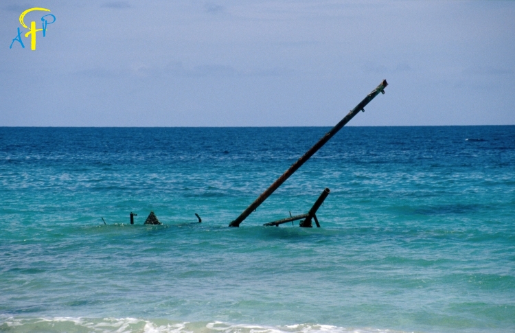
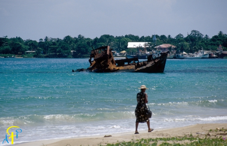
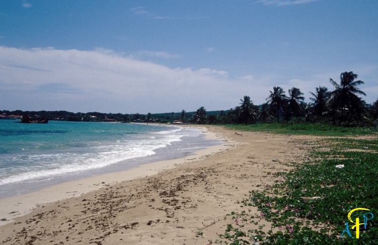
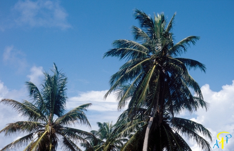
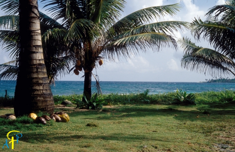
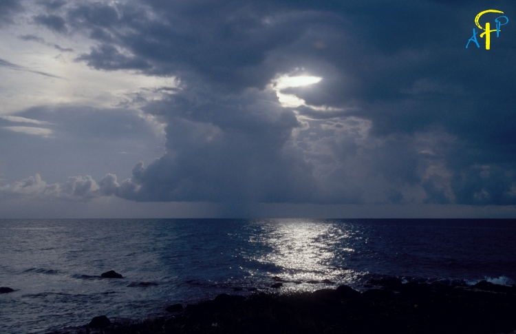
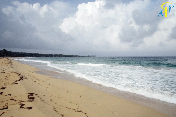
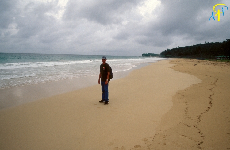
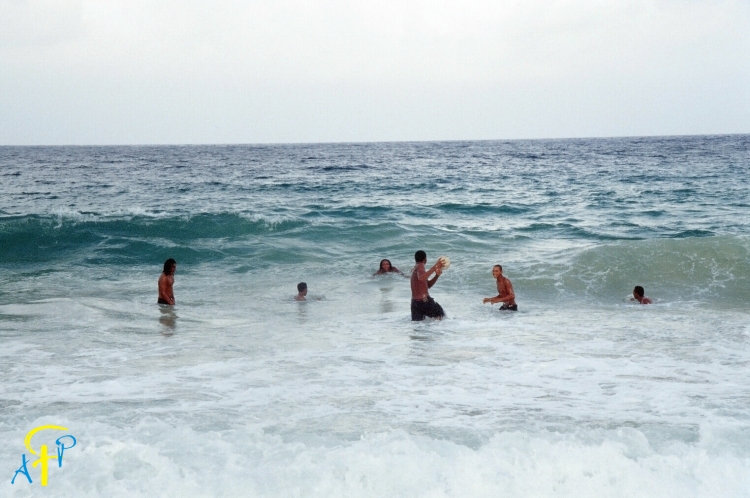
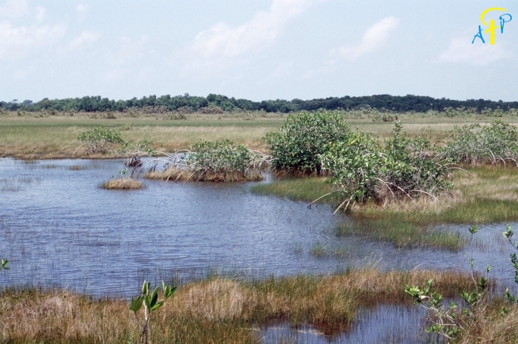
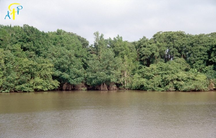
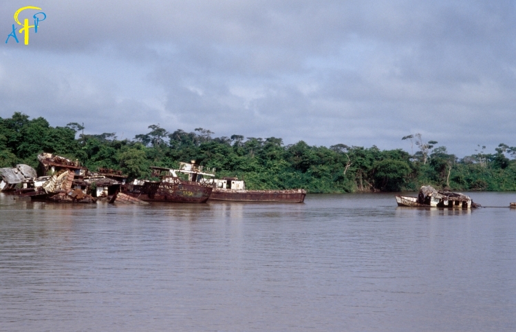
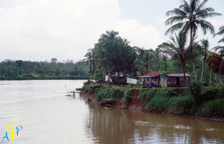
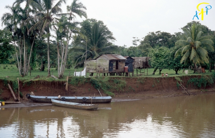
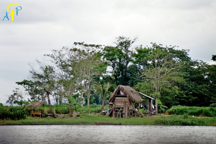
This large rainforest region is irrigated by several large rivers and is sparsely populated. The area has 57% of the territory of the nation and most of its mineral resources. It has been heavily exploited, but much natural diversity remains. The Caribbean coastline is much more sinuous than its generally straight Pacific counterpart; lagoons and deltas make it very irregular. Nicaragua's tropical east coast is very different from the rest of the country. The climate is predominantly tropical, with high temperature and high humidity. Around the area's principal city of Bluefields, English is widely spoken along with the official Spanish. The population more closely resembles that found in many typical Caribbean ports than the rest of Nicaragua.
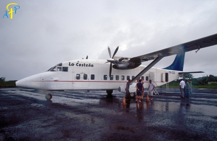
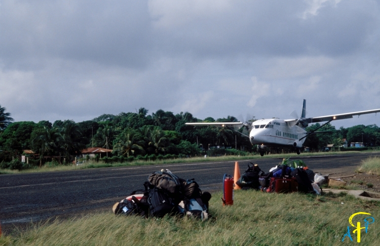
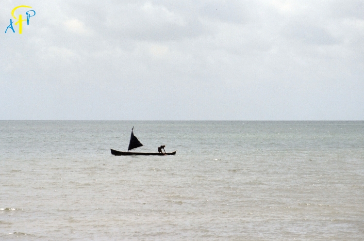
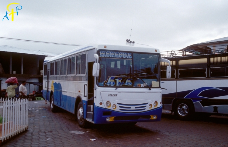
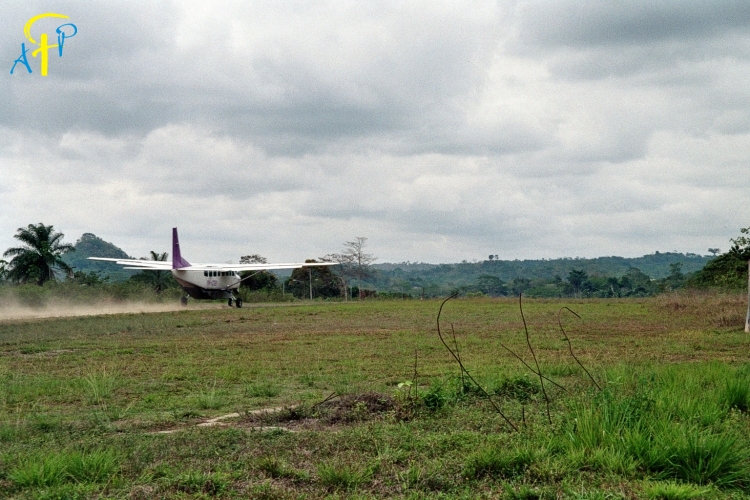
The Caribbean coast is insulated from the main part of the country. Access is only by boat or by plane.
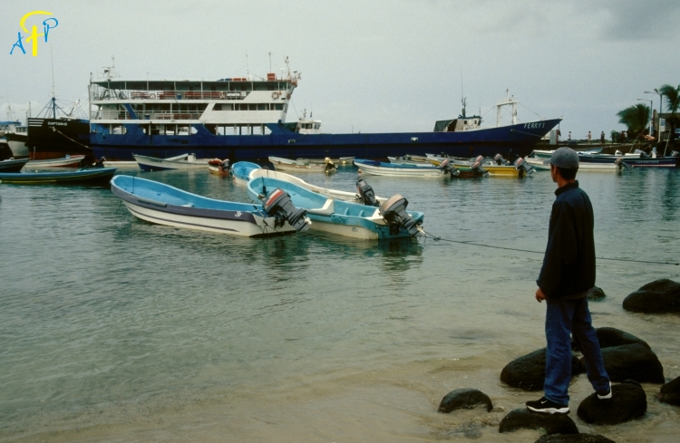
About 70 km out in the Caribbean Sea you’ll find the Corn Islands.
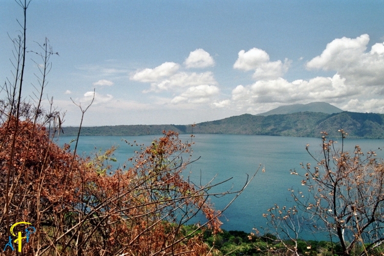
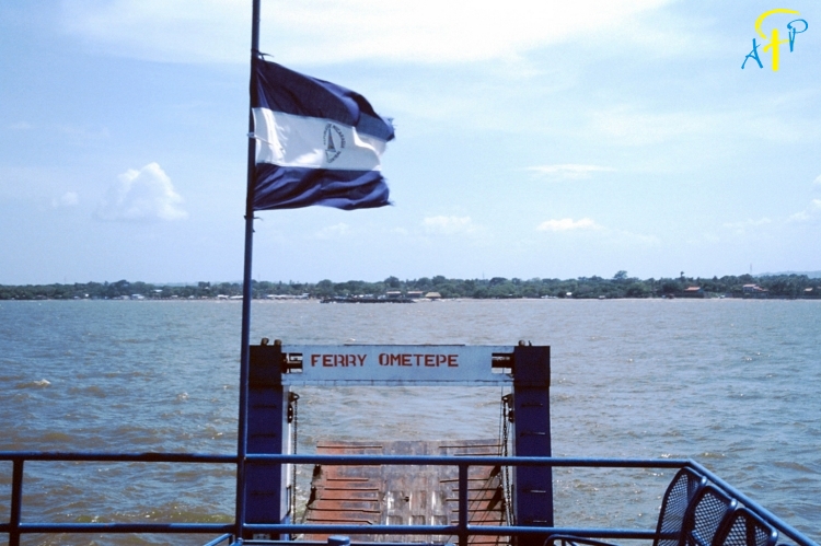
Cocibolca (lake of Nicaragua) and Rio San Juan
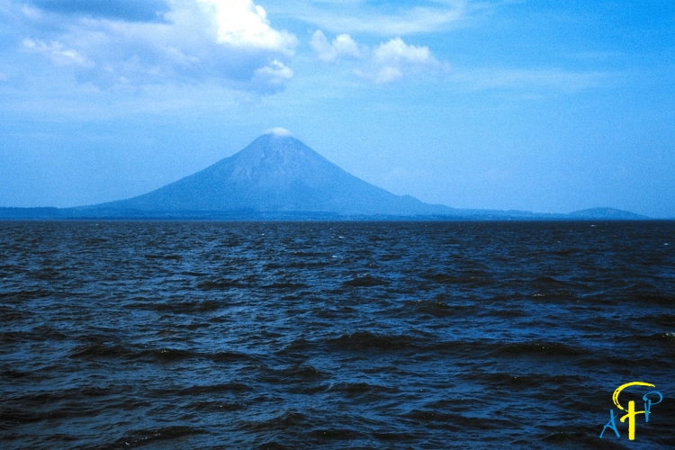
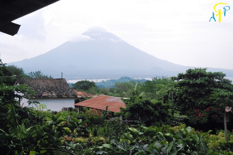
Ometepe: The island of Ometepe in the middle of the lake of Nicaragua was formed by two volcanoes the Concepción that is still active and Maderas.
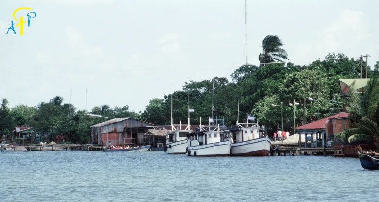
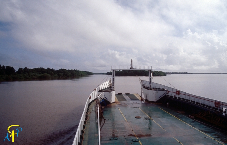
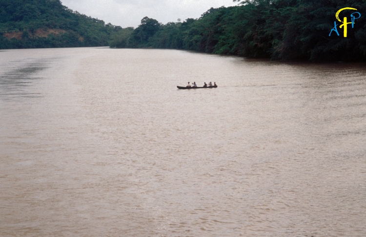
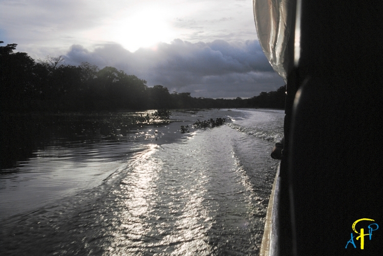
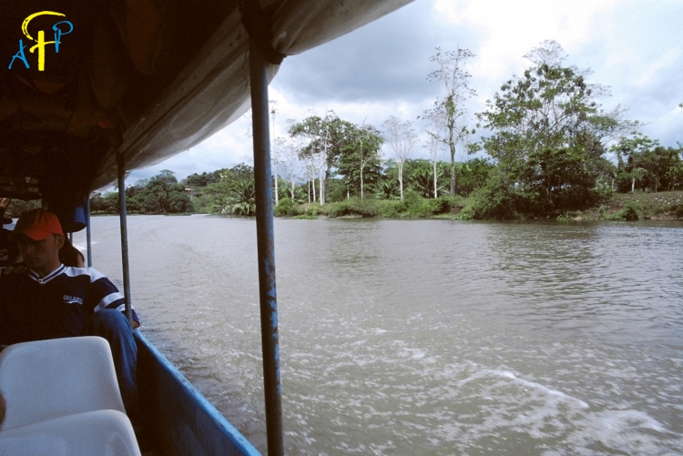
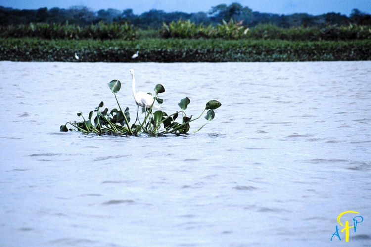
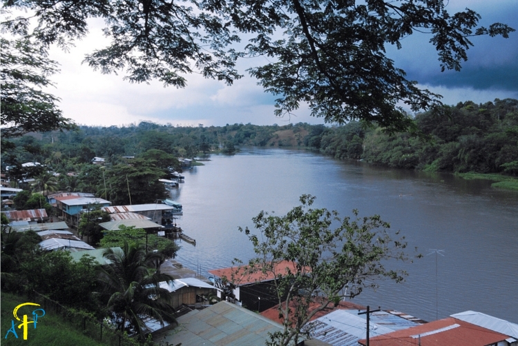
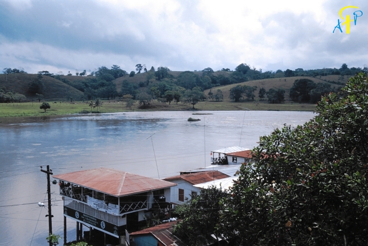
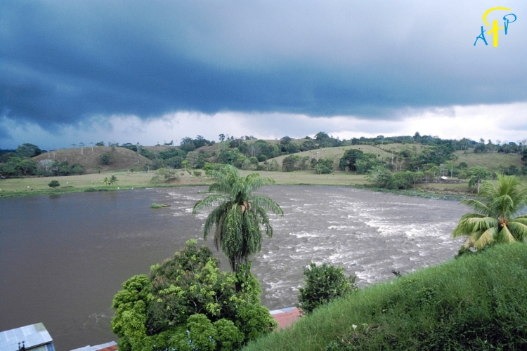
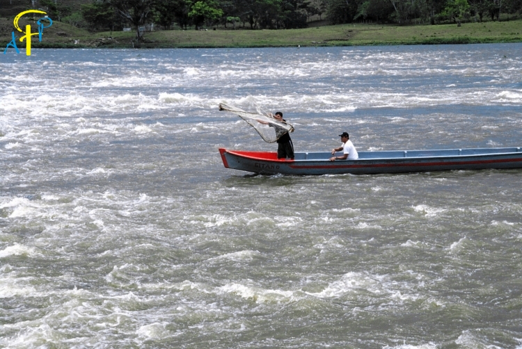
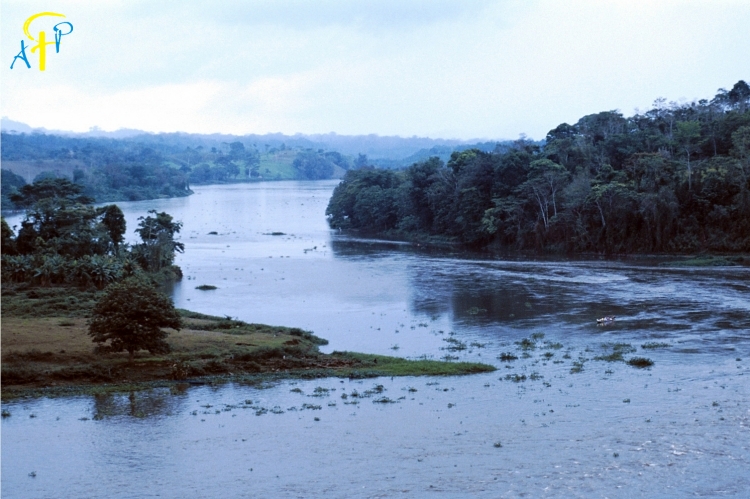
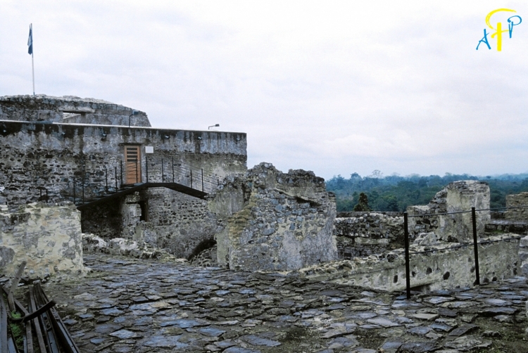
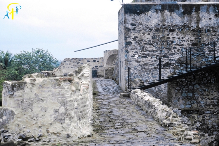
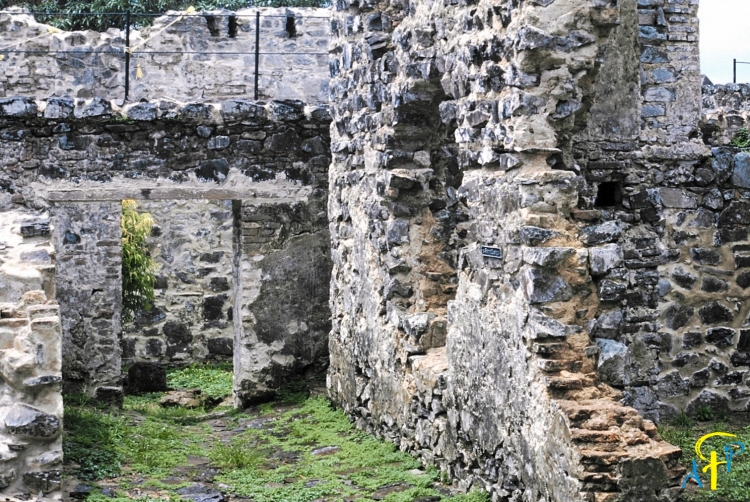
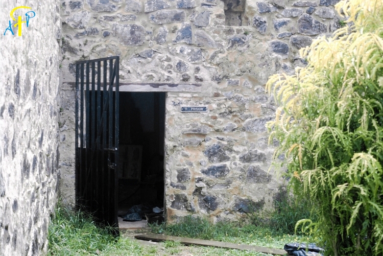
Rio San Juan: This river connects the lake of Nicaragua to the Atlantic Ocean. This waterway was the only connection to Granada for the Spanish.
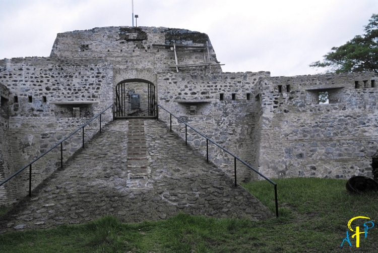
El Castillo: The Fortress of the Immaculate Conception was constructed in the late 17th century to protect locals in neighbouring Granada from pirate attacks. Today, it is one of the country's main tourist attractions.